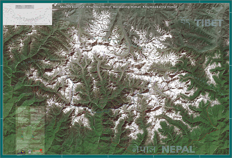
Mount Everest, Khumbu Himal, …
Satellite Image Map 1: 100 000
The Mount Everest, Khumbu Himal, Rolwaling Himal, Khumbakarna Himal, Satellite Image Map 1 : 100 000 appeared in fall 2004.
The basics is an image acquired by the satellite Landsat ETM+ from the height of ca. 830 km with ground resolution of 30 m per pixel,
delivered and processed by Geosystems-Polska.
All composition, added data and identification of all named or officially measured points is by Jan Zurawski.
The legend is in English and Polish. The image gives insight far north into the Tibet unifying/balancing our knowledge about the relief of the whole Everest area.
The map was published by the Fabryka Reklamy, shortly 'Fabre' (with some partnership of MasterTopo and PZA – Polski Zwiazek Alpinizmu, Polish Mountaineering Association, PMA). ISBN 83-921471-0-3.
Format
130 x 89 cm (51 x 36 inches, about B0, really big).
There are available only rolled versions on thick paper.
Reviews and opinions:
The map has review in American Alpine Journal annual (AAJ 2005, pp. 459-460, commonly with the map K2 & Baltoro Glacier).
Satellite map of Mount Everest is available from:
- Cordee.co.uk
- MapFox.de
- espolarte.unas.hu (Budapest)

