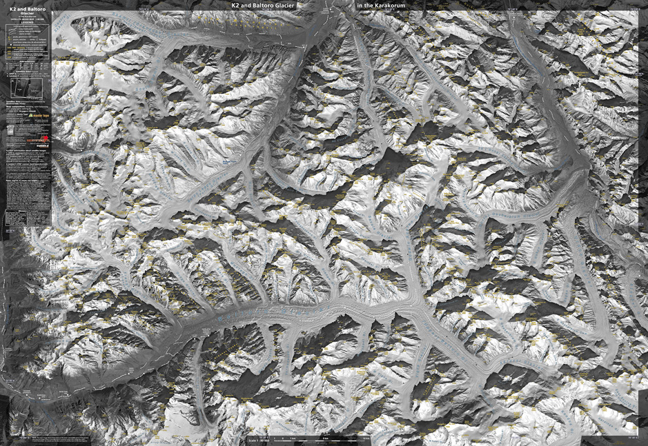
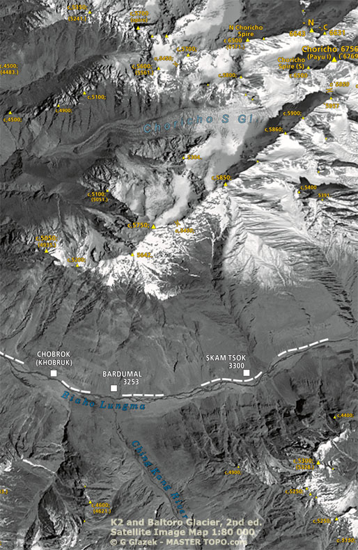
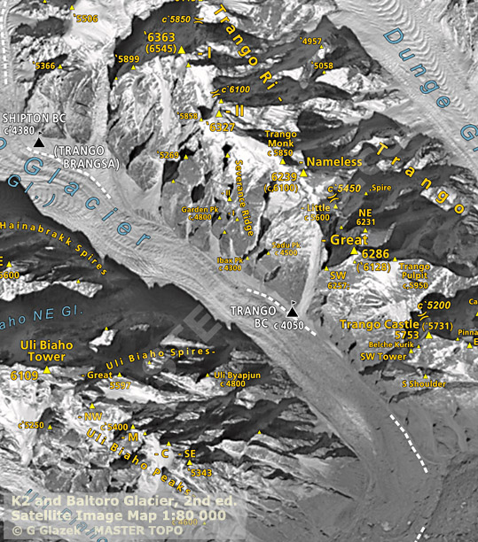
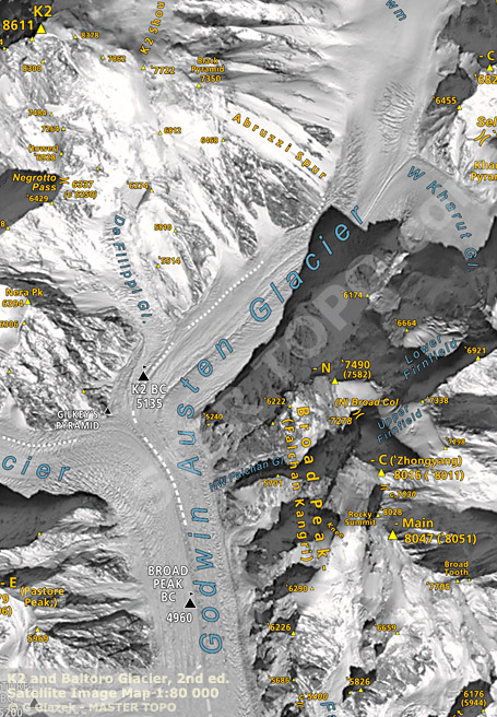
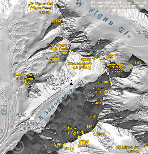
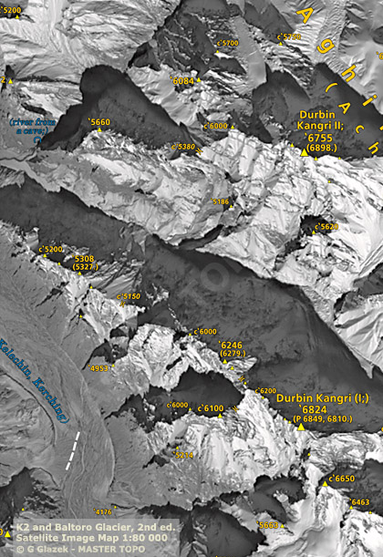
This section of map shows the entry part of the main valley with Biaho Lungma river which origins in the Baltoro Glacier and also shows the east slopes of the perpendicular valley of Dumordo River which flows from the Panmah Glacier on the north.
This is the area relatively out of interest of mountaineers (except of Choricho main peak), passed below when hiking to the famous main glacier, poorly represented on the maps and as a result it is almost unknown.
The increase of the number of identified smaller peaks, towers and cols between the 1st and 2nd edition is clearly visible. Only on this section alone there have been added 32 newly identified objects and 30 heights estimated from recent sources or taken from old Soviet military maps (not excluding each other).
* * *
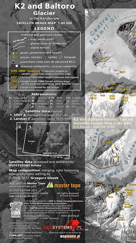
For whole map and its 2nd edition of 2013 the number of identified peaks reaches 1736 while in the 1st edition it has been 1016 (as many times has been placed a triangle symbol of the peak or tower).
The number of identified cols and notches is 290 while in the 1st edition has been 160.
Thus, statistically the increase of the number of identified terrain objects in ridges is more than 70 % from the 1st to the 2nd edition of the map (however, most of these added objects are details of the minor importance and only few of them have names).

